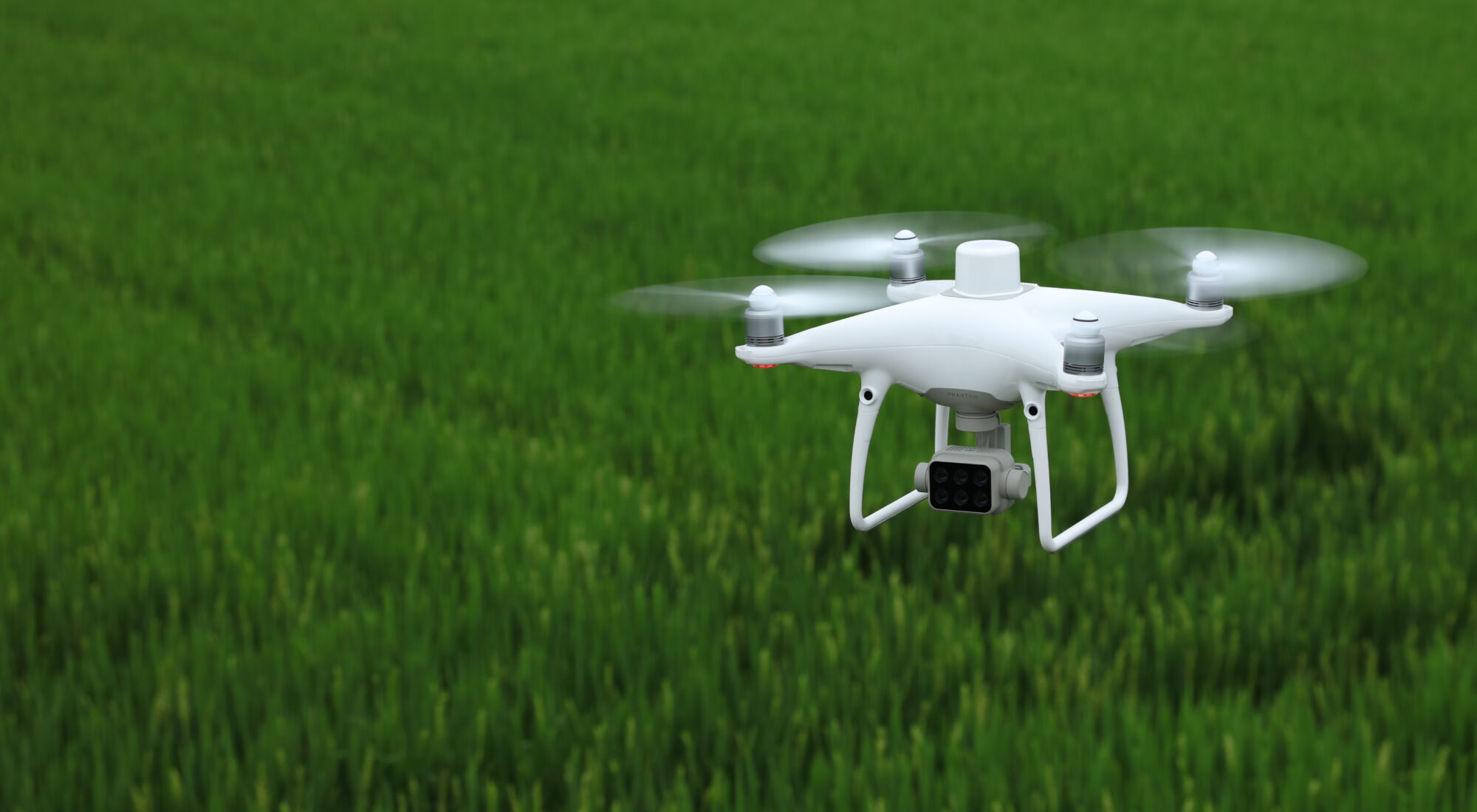
P4 Multispectral
P4 Multispectral allows users to acquire detailed plant level data with the help of the on board multispectral imaging system built for agriculture missions and environmental monitoring
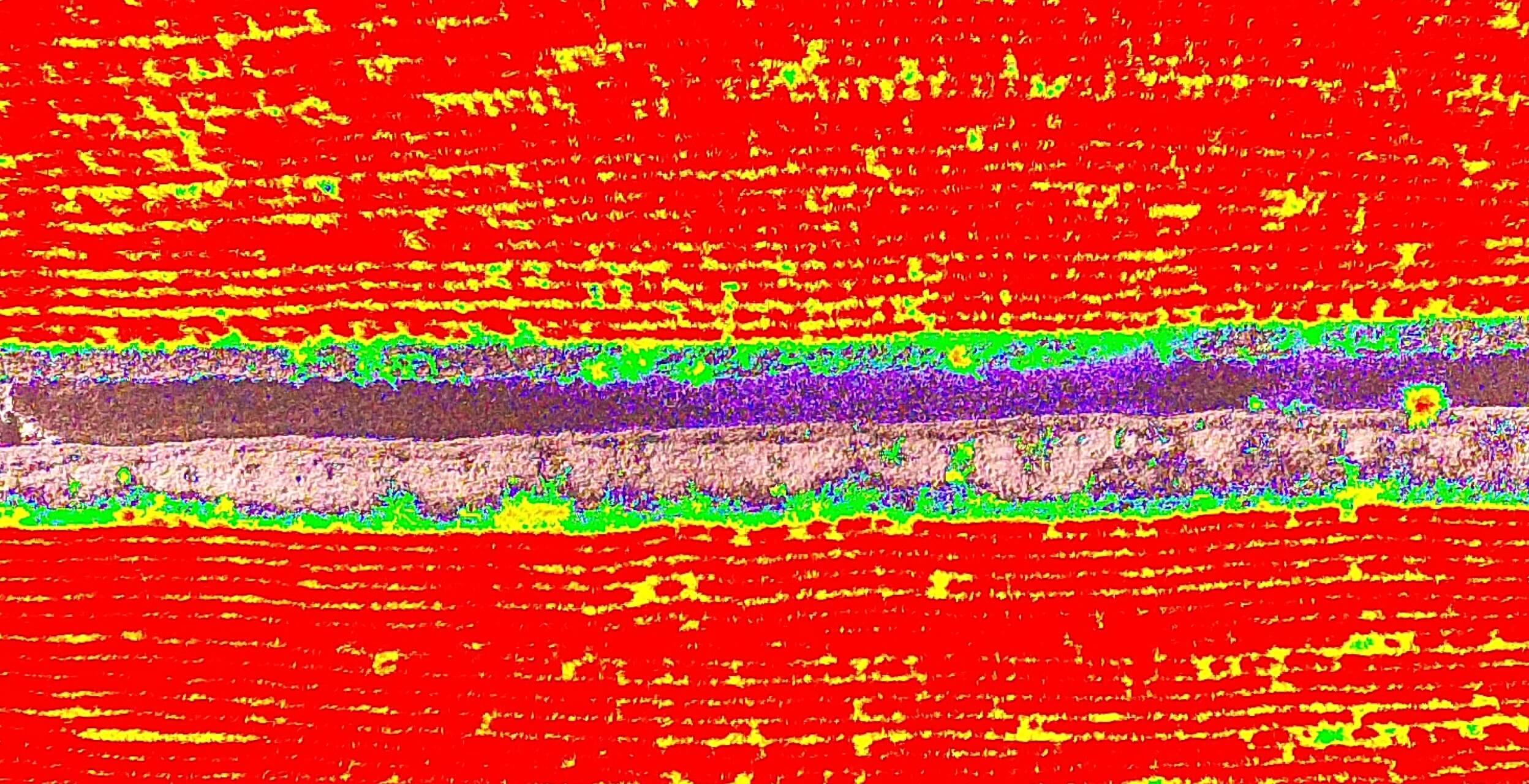
Monitor plant health state at a glance
With the P4 Multispectral platform, users can gather insights on the crop health status allowing them to create a comprehensive image of the entire agricultural field, thus leading to a better and more professional farm management
See Beneath the Surface
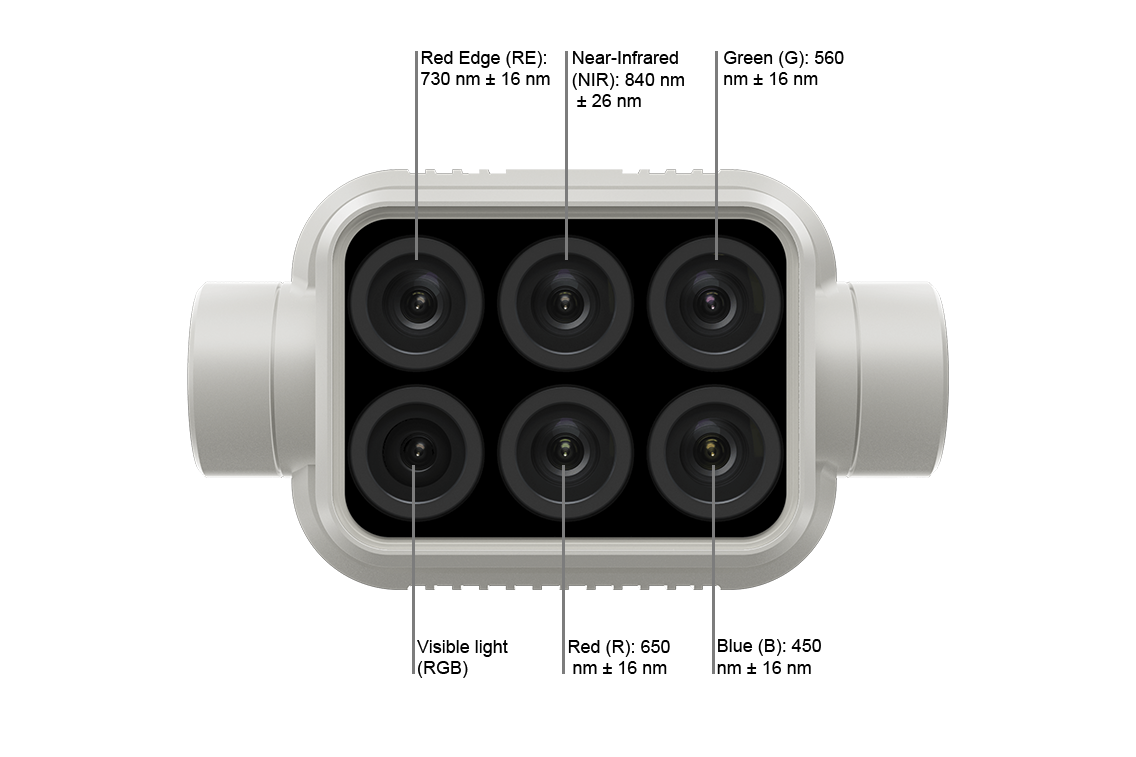
With the help of the P4 Multispectral, agriculture data collection is now more simpler and efficient. Data is simultaneously collected by 1 RGB camera and an array of 5 multispectral cameras covering Blue, Green, Red, Red Edge and Near Infrared bands, all at a resolution of 2 MP.
Centimeter-level Precision
Acquiring accurate measurements is now more easier than before. The DJI TimeSync system continuously aligns the flight controller, RGB and NB cameras and RTK module ensuring each photo uses the most accurate metadata. The distortion parameters of each camera are saved into each image data so that post-processing can uniquely be adjusted for every user needs

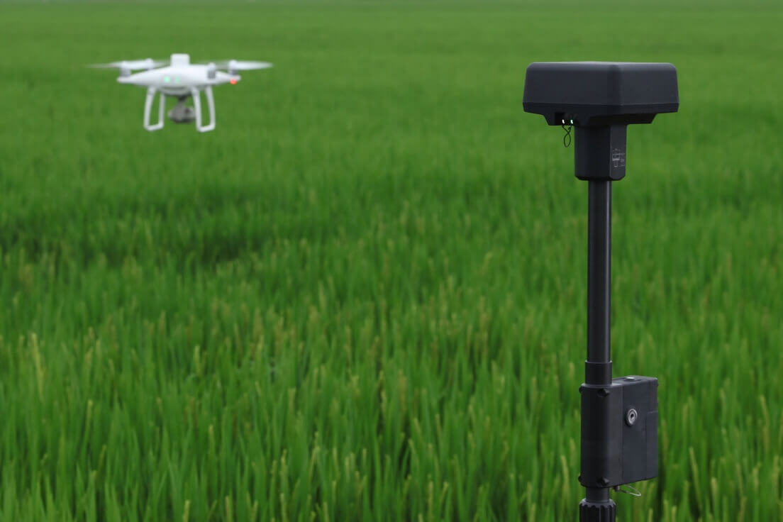
Integrated Sunlight Sensor for Accurate Results
The P4 Multispectral features an integrated spectral sunlight sensor on top of the drone, that captures solar irradiance maximising accuracy and consistency of the acquired data through the day. Combined with post-processed data the NDVI analysis and results can significantly improve
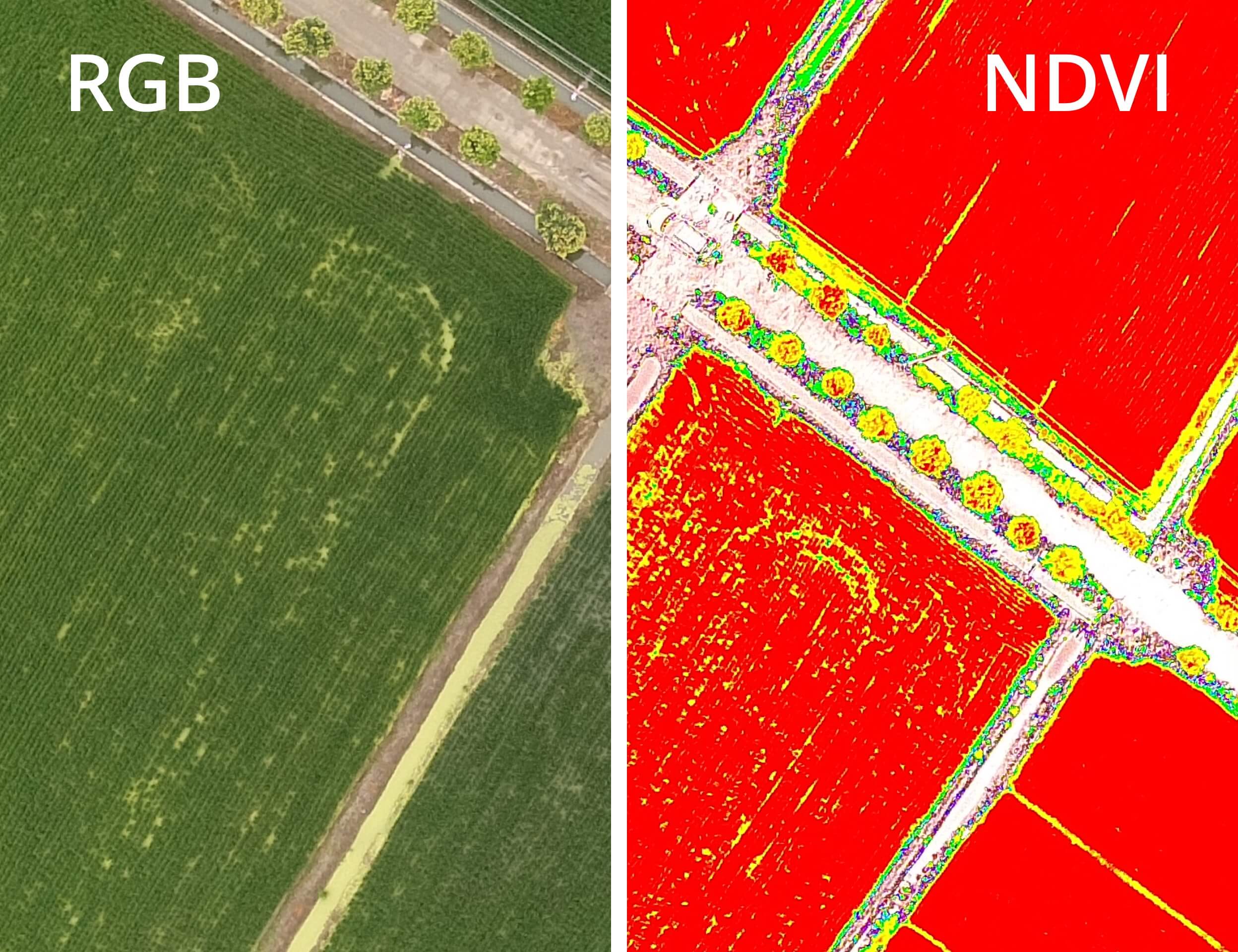
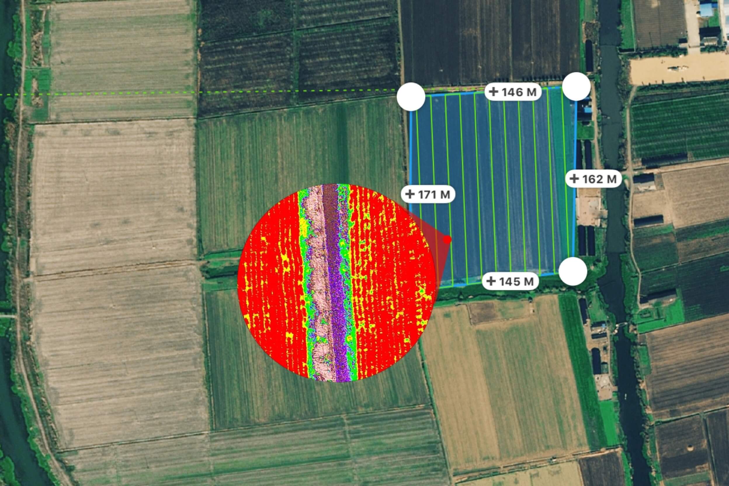
Complex Datasets at your Fingertips
Detailed RGB aerial imagery, combined with the preliminary Normalised Difference Vegetation Index (NDVI) analysis allow agriculture professionals to immediately identify the areas where plant treatment is required, and act accordingly
D-RTK 2 Mobile Station and NTRIP Compatibility
Connect the P4 Multispectral to the D-RTK 2 High Precision Mobile Station and NTRIP (Network Transport of RTCM via Internet Protocol) for accurate measurements. Satellite data gathered during missing execution can easily be used for Post Processed Kinematics (PPK)
3 Steps to Intelligent Agriculture Missions
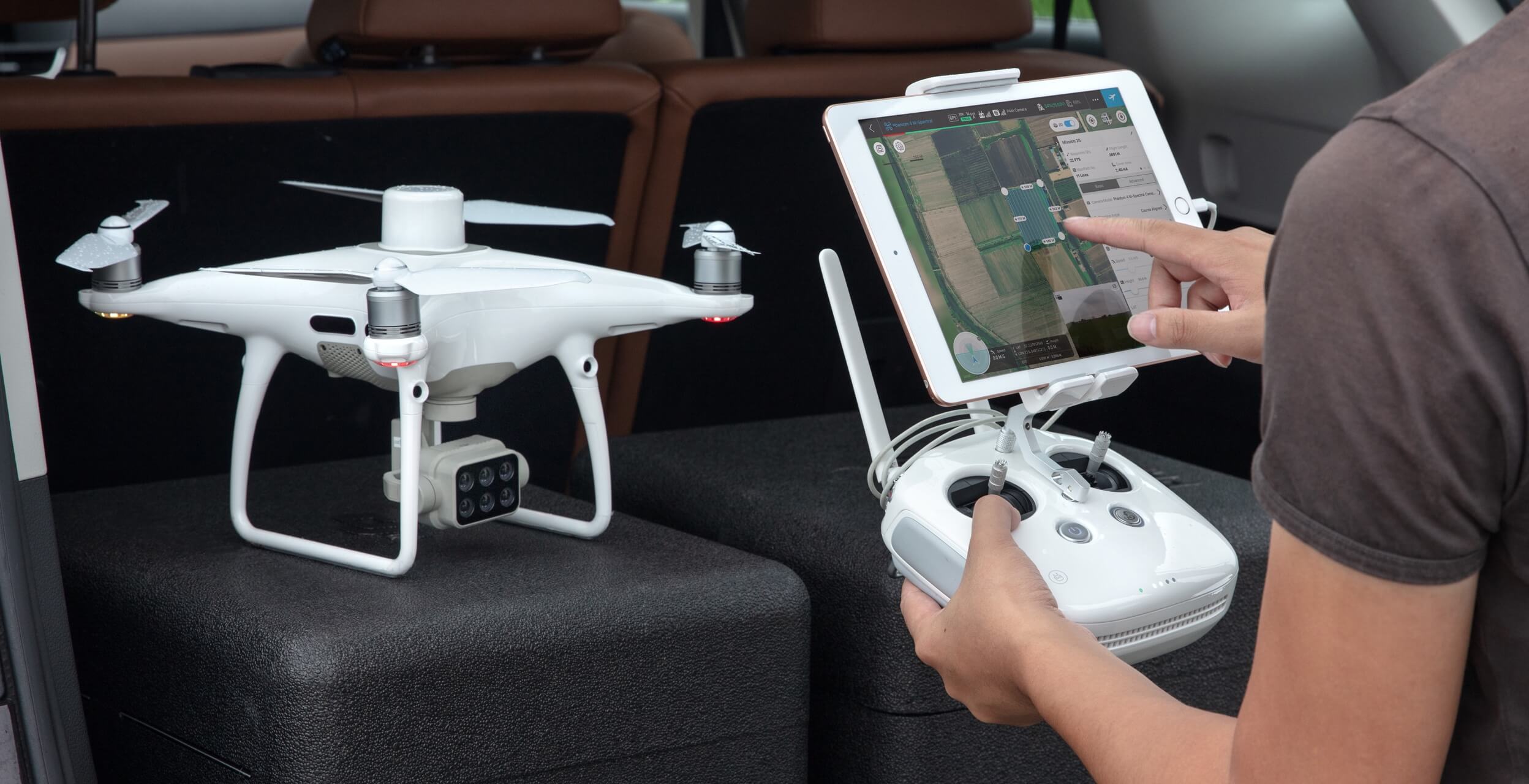
Flight Planning
Plan flights, execute automated missions, and manage flight data using GS PRO – DJI’s leading flight planning iOS app.
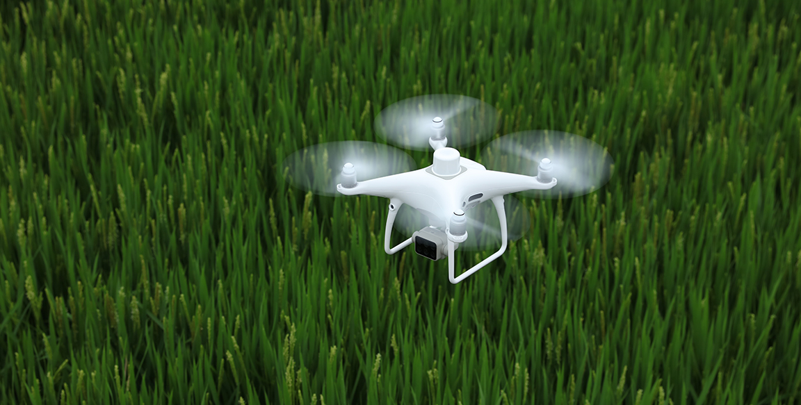
Data Collection
Gain comprehensive data of large areas with the multispectral and RGB images captured with the P4 Multispectral
Data Analysis
Access and process aerial data by applying plant specific metrics and parameters to obtain accurate results about the crop health state